Warnings have been issued for Puerto Rico, Vieques & Culebra, and the Virgin Islands.
Tropical storm Isaias advances over the Caribbean with maximum sustained winds of 95 kilometers per hour. It is expected to make landfall in Haiti within the next 24 hours.
RELATED:
The U.S. National Hurricane Center (NHC) warned that Isaias could cause dangerous flash floods and heavy rains in Puerto Rico.
For the next few days, its cone is the Dominican Republic, Haiti, Cuba, the Bahamas, and southern Florida, where it will arrive on Friday night.
Maximum sustained winds are close to 95 km/h. No intensity changes are expected until it makes landfall somewhere in the Dominican Republic this afternoon or evening.
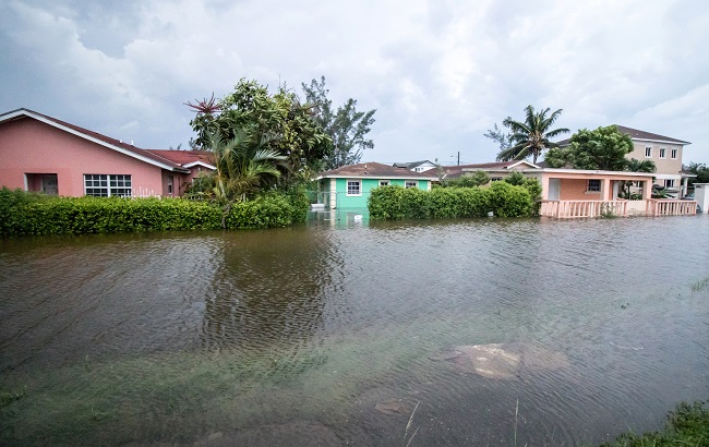
This is happening right now in Cabo Rojo, Puerto Rico. Area of Combate. No power, water pressure is low. Even in these conditions, people are being forced to travel to work or even work remote. @DavidBegnaud pic.twitter.com/L4SagFLI1v
— Fi (@arvalv) July 30, 2020
The risks to land are wind, heavy rains, being most intense in the Dominican Republic and the Bahamas, and waves.
Tropical storm warnings have been issued for Puerto Rico, Vieques and Culebra, the British and U.S. Virgin Islands, the southern and northern coasts of the Dominican Republic, parts of Haiti, Turks & Caicos, and some islands in the Bahamas archipelago.
There is also a tropical storm watch for the islands of the Northwest Bahamas and the NHC recommends that Cuba and Florida be vigilant about Isaias' advance.
This year, tropical storms Arthur and Bertha have formed, both before the official start of the cyclone season, which begins on June 1 and ends on November 30.
Then followed Cristobal, Dolly, Edouard, Fay, Gonzalo, and Hanna, which was the first hurricane this year in the Atlantic and made landfall in Texas on July 25.
At this hour Isaias continues to produce life-threatening flash flooding and gusty winds over Puerto Rico. Heavy rains and gusty winds spreading over the Dominican Republic.